
Farm Maps
AeroMap provides farm mapping services across New Zealand
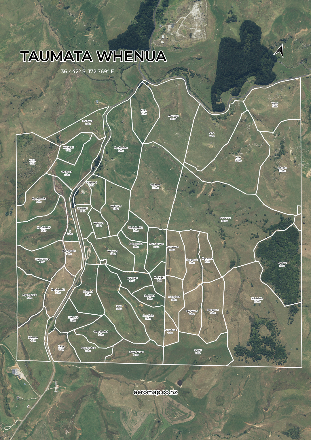
Farm Maps Include
Clear paddock boundaries
Paddock names and areas
Tracks, waterways and key farm features
High-quality digital PDF maps
Designed for phone, tablet or print
Optional laminated prints and tear-off pads
Draft review and updates before final delivery
Simple Process
Send an existing map, screenshot or farm address
Review the draft map and request any changes
Receive final digital maps ready for phone, tablet or print
Designed by someone who understands farming, with a straightforward process focused on practical everyday use.