
Professional Maps for New Zealand Farms
New Farm Maps
Custom maps with paddocks, areas, tracks and farm features.
Map & Shapefile Updates
Update existing maps, paddock boundaries and GIS files.
Printing from Existing Maps
Laminated maps, farm whiteboards and map pads.
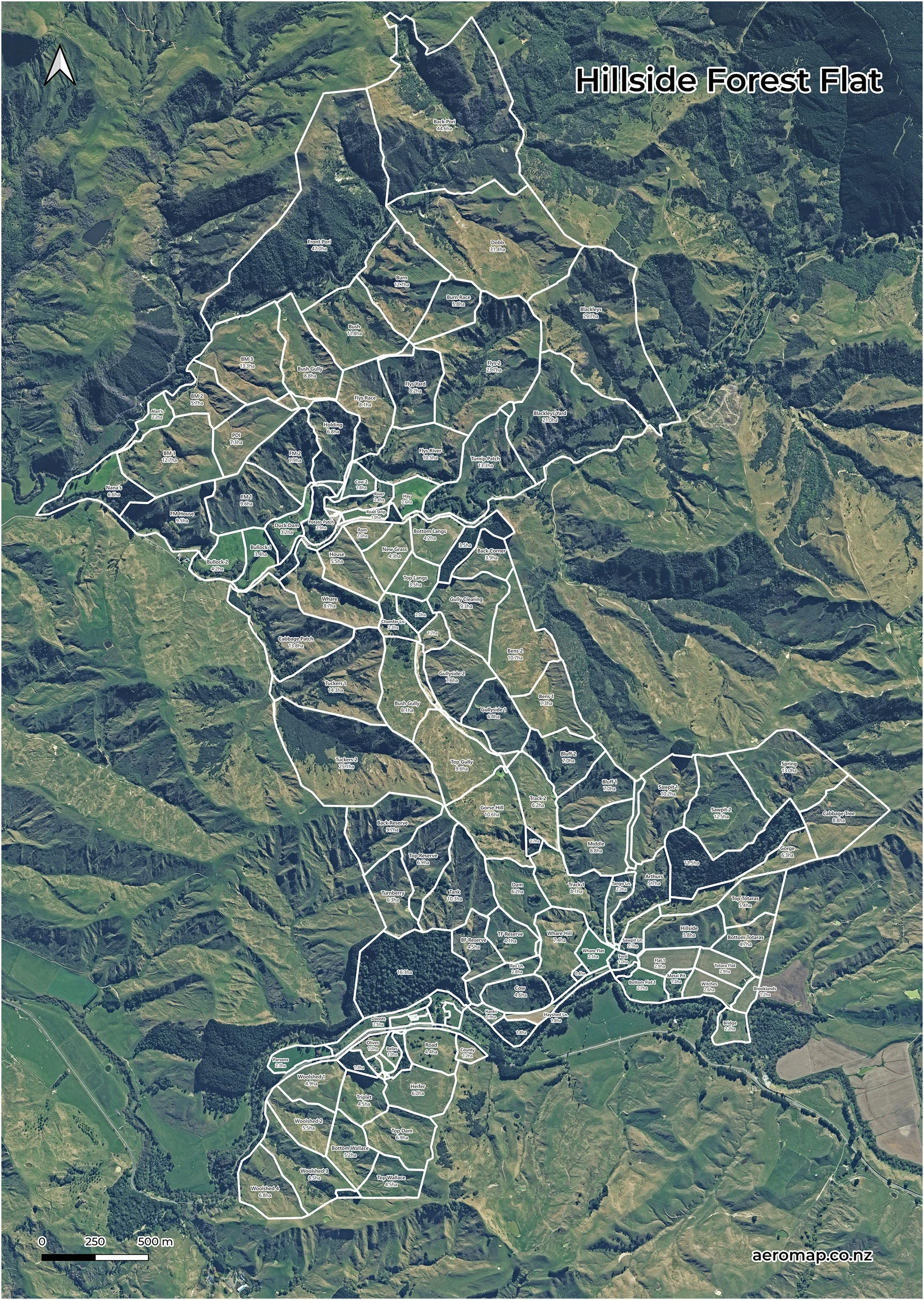
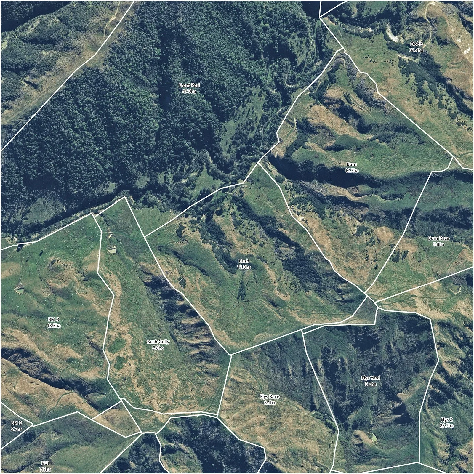
Detailed High-Resolution Imagery
High-resolution aerial imagery provides a clear view of paddocks, tracks, waterways, vegetation and other farm features, giving each map a detailed and accurate base.
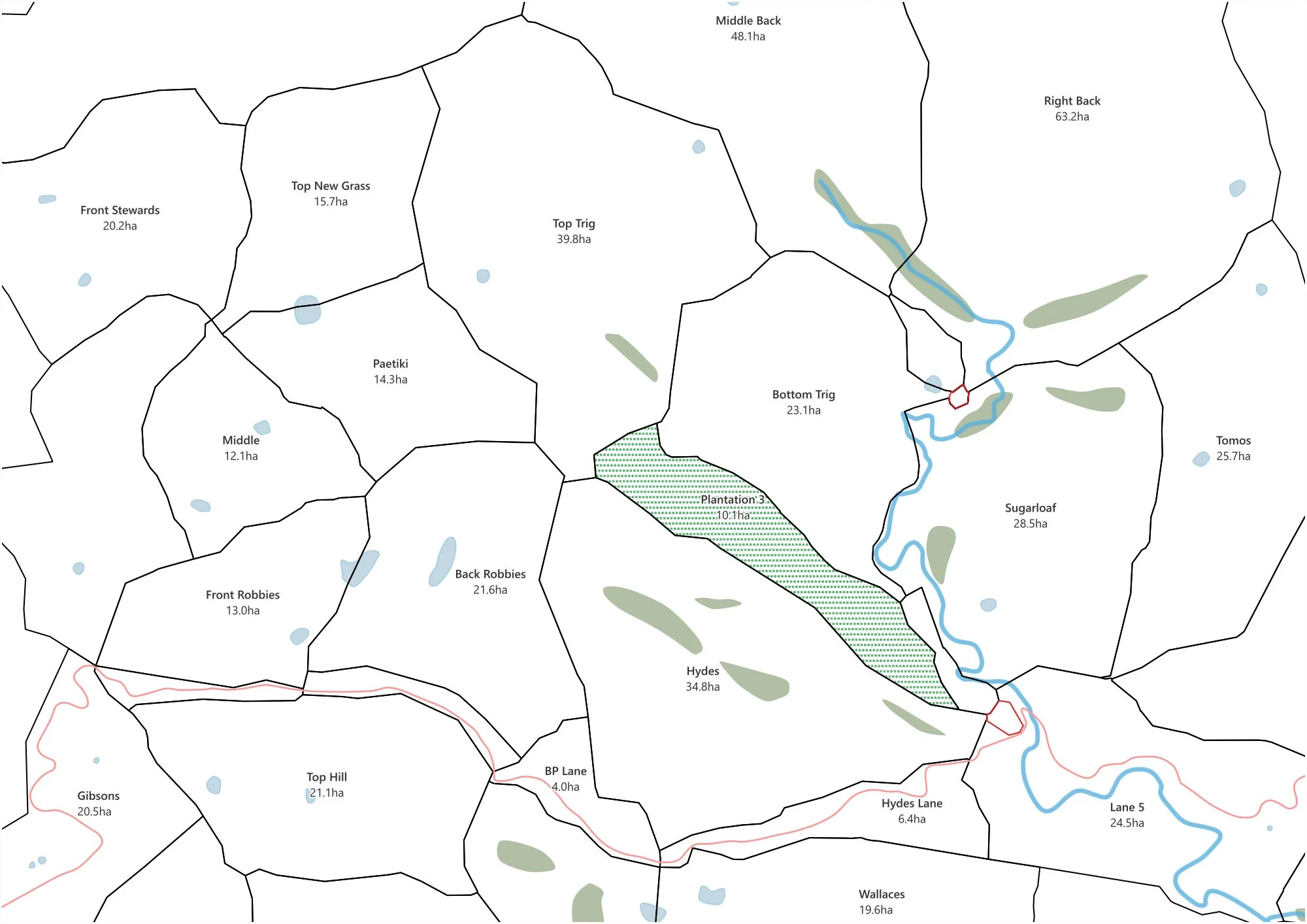
Clean Map Version
Included with every farm map, this clean white-background version shows paddocks, names, areas, waterways and key farm features clearly.
How It Works
Send your farm address and supply any details you have
Review your draft and make any changes
Receive your completed digital map and any print products
Designed by someone who understands farming, with a straightforward process focused on practical everyday use.
New Farm Maps
from $549 + GST